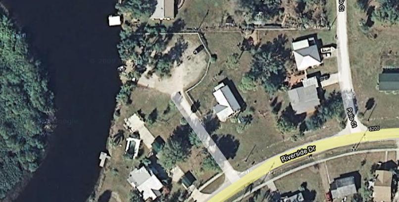
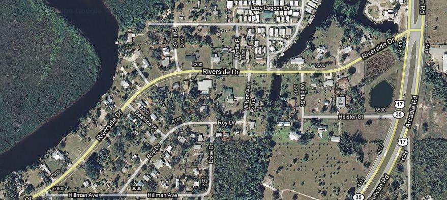
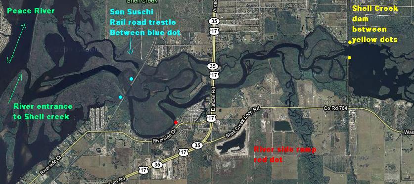
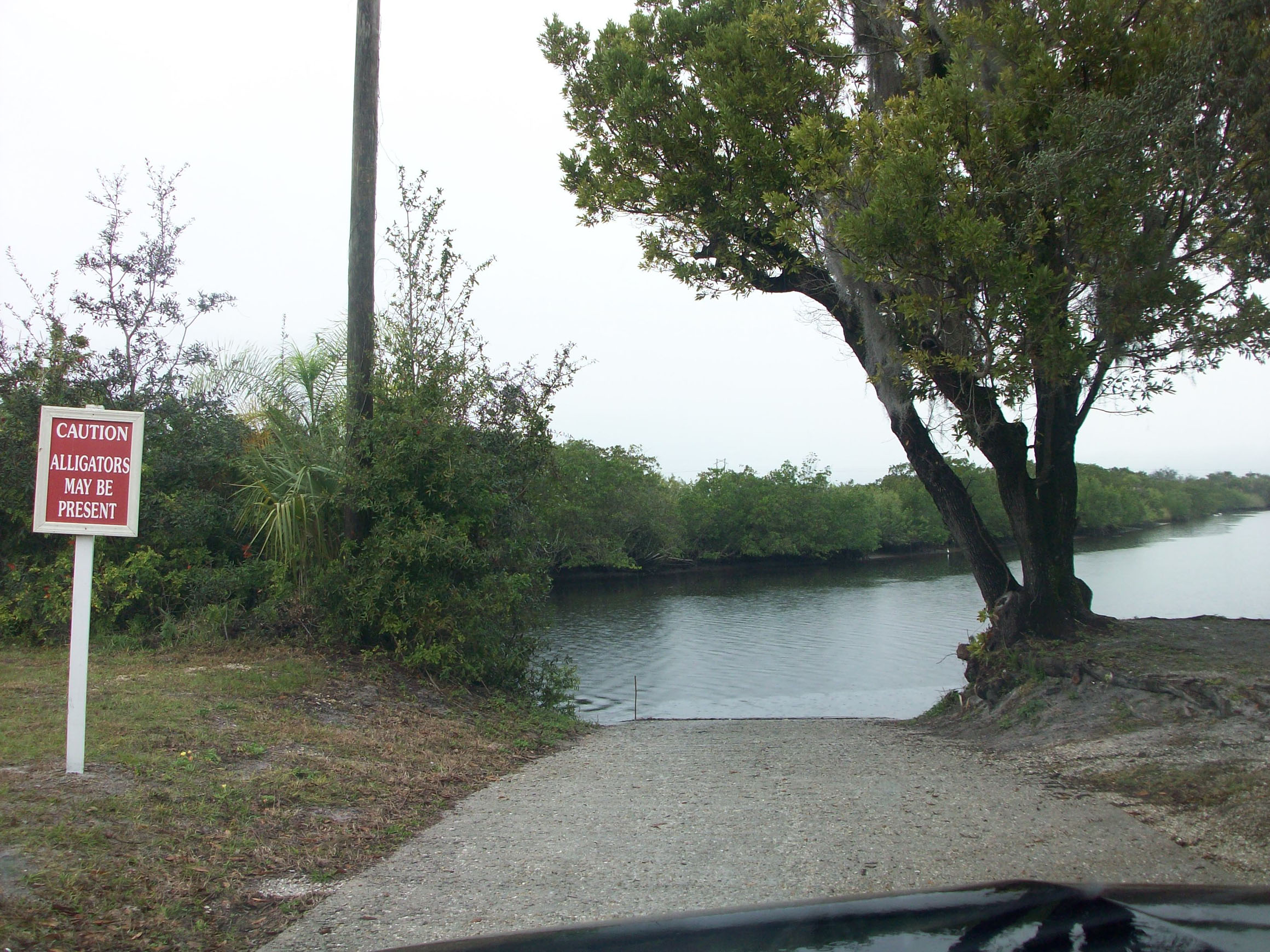
River side Boat ramp
is Salt / brackish water, and the closest ramp to the
shell creek dam. I have been here snook fishing many times.
watch when you see the crab traps, the crabbers toss over any thing they do not
want to keep at the ramp, and the Snook line up,
for the easy meals.
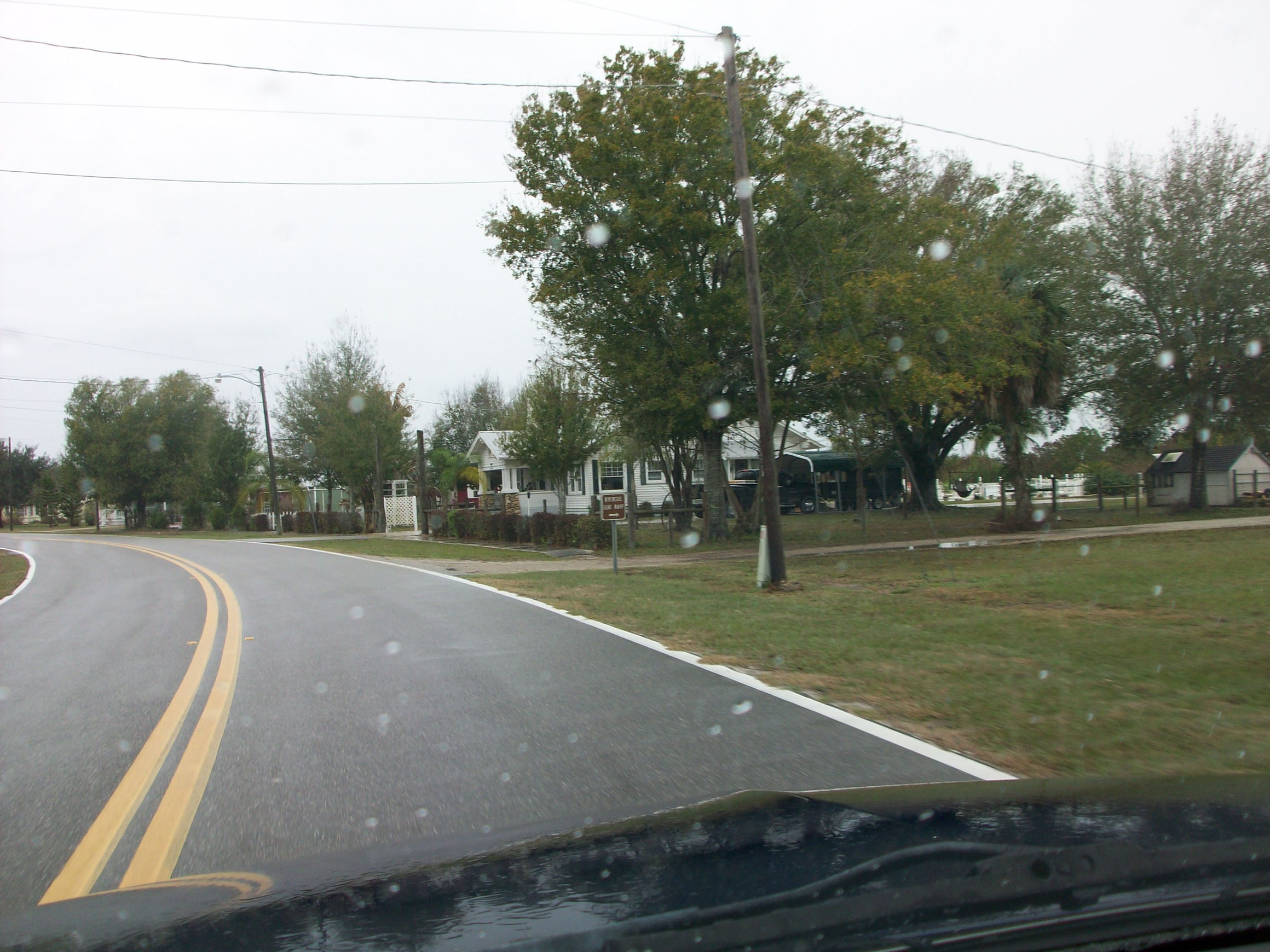
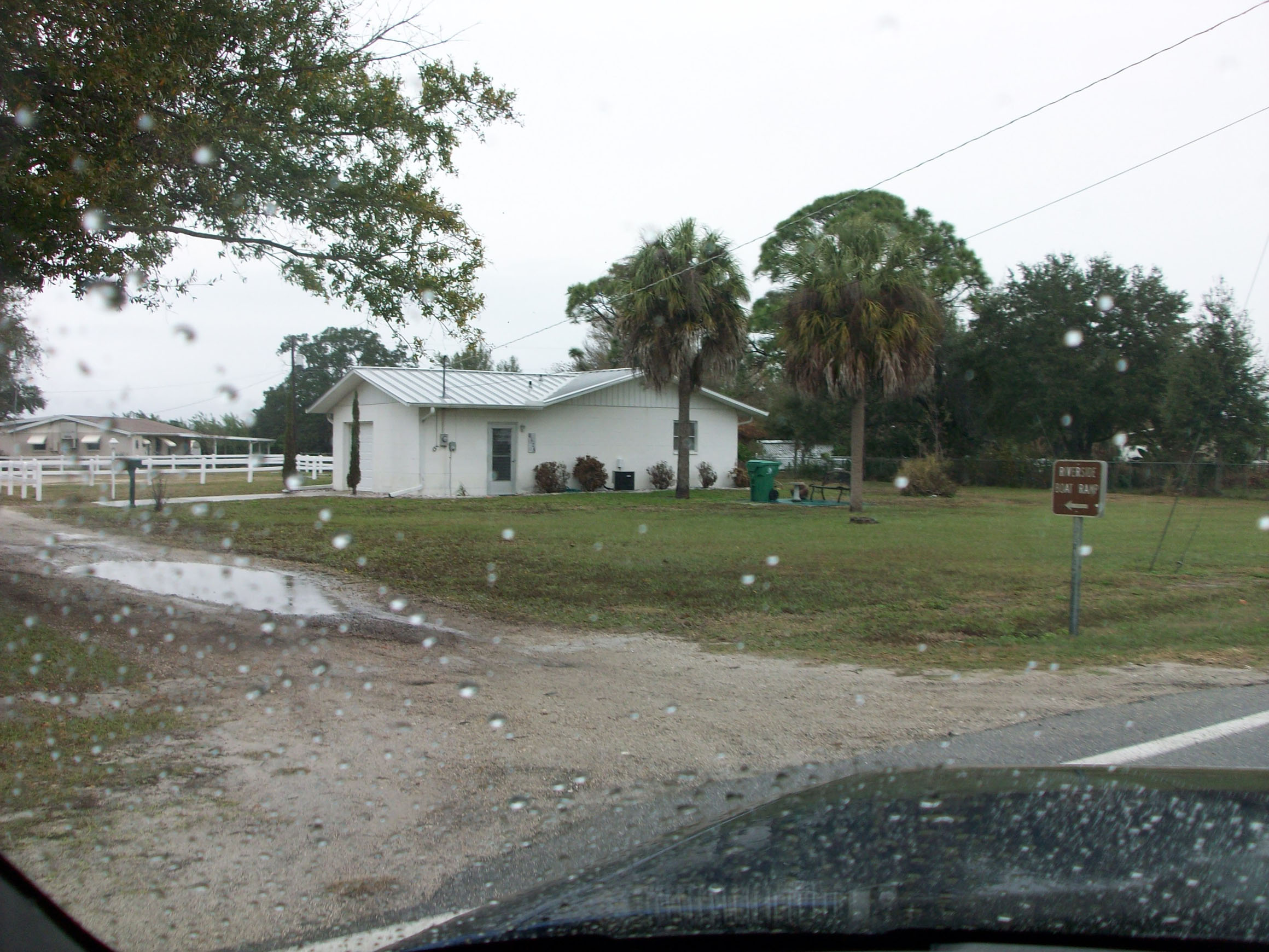
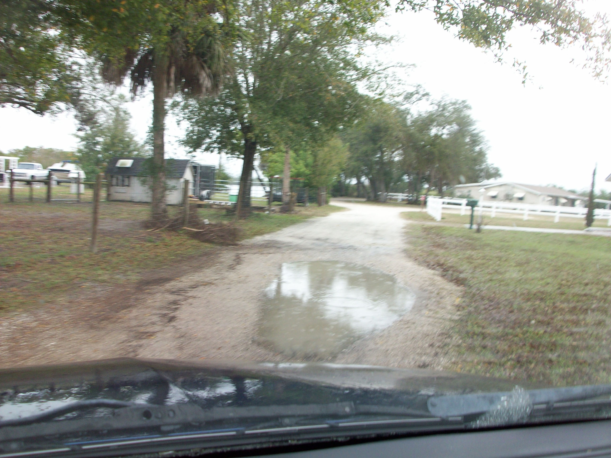
This is kinda a weird ramp as it looks like you are going into some ones
drive way. I am not sure if you could launch any thing
more than a 18 foot boat here. there is about 5 feet of water at the ramp, small
boats should be no problem.
To the left is the sans Sushi trestle "Rail road bridge" that is still in use I
think since about 1907
Snapper, Snook, Jacks, and sea trout all can be found in this area, Oh ya I forgot to mention Reds fish.
look at on
![]()
![]()

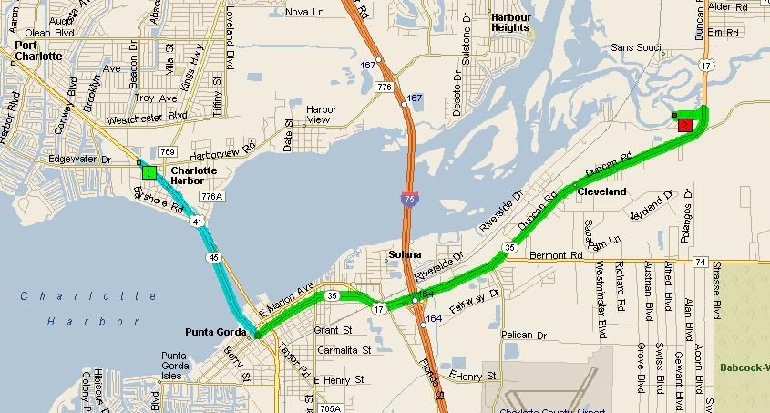
Summary: 9.8 miles (12 minutes)
| Time | Mile | Instruction | For | Toward |
| 9:00 AM | 0.0 | Depart
4425 Tamiami Tr, Port Charlotte, FL 33980 on US-41 (South) Fishin Franks |
2.7 mi | |
| 9:03 AM | 2.7 | Turn LEFT
(North-East) onto W Olympia Ave |
0.2 mi | |
| 9:03 AM | 2.9 | Road name
changes to [E Olympia Ave] |
1.1 mi | |
| 9:05 AM | 4.0 | Road name changes to US-17 | 5.4 mi | |
| 9:11 AM | 9.4 | Turn LEFT (South-West) onto Riverside Dr | 0.4 mi | |
| 9:12 AM | 9.8 | Turn RIGHT onto Local road(s) | 54 yds | |
| 9:12 AM | 9.8 | Arrive River Side Boat ramp |
SUMMARY
Driving distance: 9.8 miles
Trip duration: 12 minutes
Driving time: 12 minutes
Cost: $0.84