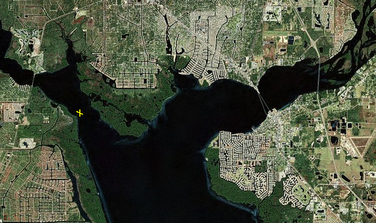
you can see the Gilchrest bridges on U.S. hwy 41.
The left fork is the Myakka River the Yellow X is Cattle Dock Point, the Bridge is at El-Jo Bean hwy 776
look at on
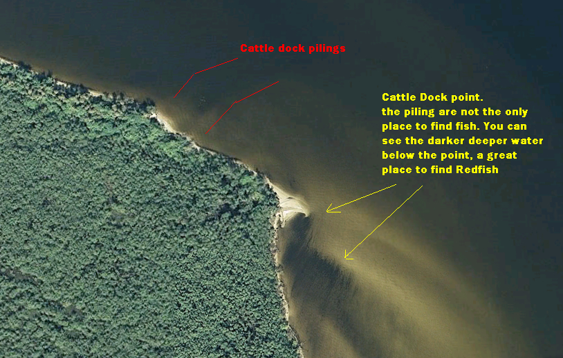
Cattle dock Point
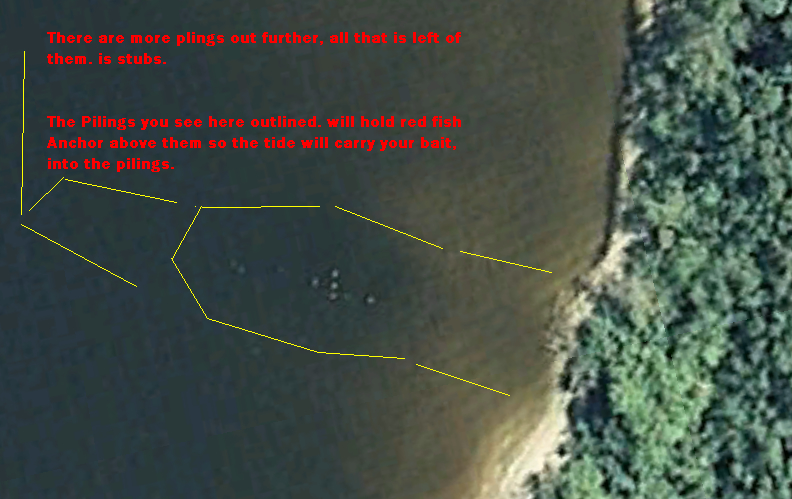
This is on the west bank of the Myakka River. It has been a
Red fish spot
as Long as I can remember. The Pilings close to shore have been broken off,
over time and buried by the sand, but there are still a few pilings left to
fish.
Keep in mind the other pilings out farther have been reduced to stubs but some
Still stick up from the bottom a ways.
Here is the Lat and longitude for Cattle dock Point. 26-56.212 082-11.065
This first picture is for you to get your bearings. The right fork of
the Harbor is the Peace river.
you can see the Gilchrest bridges on U.S. hwy 41.
The left fork is the Myakka River the Yellow X is Cattle Dock Point, the
Bridge is at El-Jo Bean hwy 776
look at on
![]()
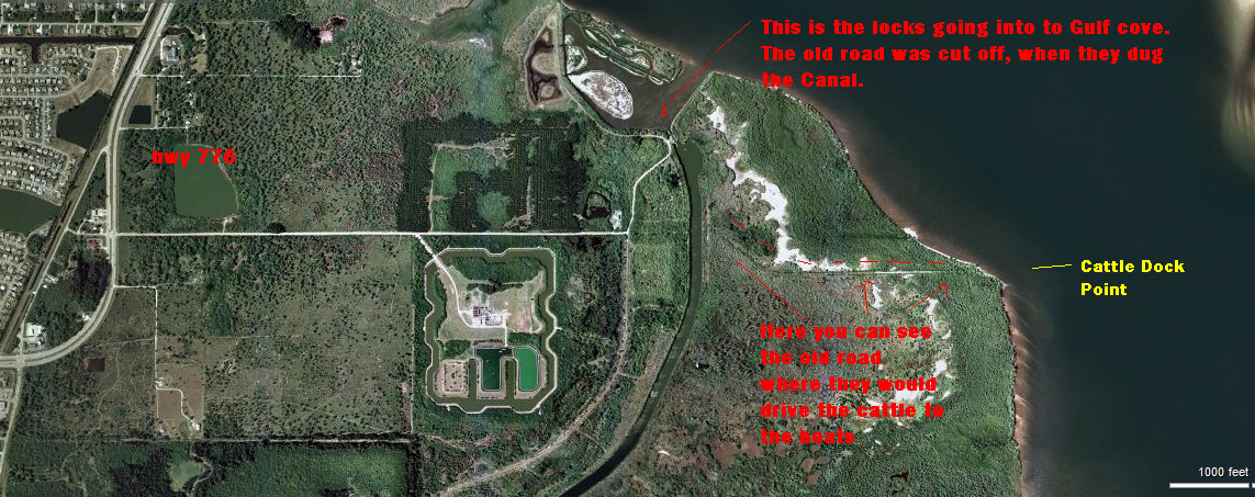
Yes at one time almost all of Charlotte
County was Cattle Ranches, Florida is still the #1 beef state in the U.S.A.
Prior to the Rail Road even after barges were used to move Cattle.
In the picture below you can still see the road which lead to the docks,
The River was much deeper and has silted in a lot over the years